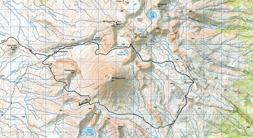
The plan was simple: a loop around Ngauruhoe, constructed as follows:
- up the Mangatepopo Valley and up to South Crater by the standard track (no adventure here, although we could have done the old Devil's Staircase;
- across South Crater and drop down over the side into the Oturere Valley;
- cross-country to Oturere Hut;
- follow the Northern Circuit track south through the Rangipo Desert and turn west at an appropriate point;
- follow the gentle slope up between Ngauruhoe and the Tama Lakes - exact route not important because it's such a wide gentle lava flow;
- head over the saddle between Ngauruhoe and Hogsback / Pukekaikiore; and
- follow the unmarked but well-trod trail back to the Mangetepopo Valley track and back to the car.
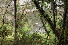
Into Oturere

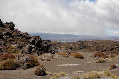
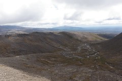
It was initially a little steep heading
down from South Crater, but it is by
ANY route.
Photo: Mike Tennent
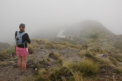
Heading up to and across South Crater went like clockwork, and we made good time. Heather and Mike had a few misgivings on reaching the far rim of South Crater, but we were soon on our way down and the going was a lot easier than it first appeared. Some might even say it was fun!
After following the stream bed down for a while we branched across the sandy desert to meet up with the poled track to Oturere Hut. There was a bit of a hunt for the track, but the GPS waypoints turned out to be pretty much spot on.
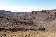
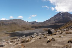
View down the valley into Oturere
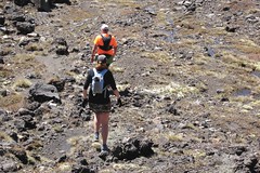
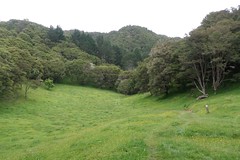
Mike and Heather running cross-country along
the stream valley

Running with Heather through the desert.
Photo: Mike Tennent
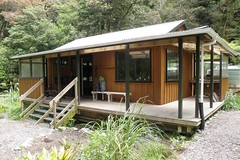
Oturere Hut
After a stop at the hut to refuel we continued on, following the Northern Circuit track as planned. The track is undulating, but for the most part is runnable. We were still right on our planned time at this point, so all was good.
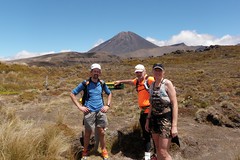
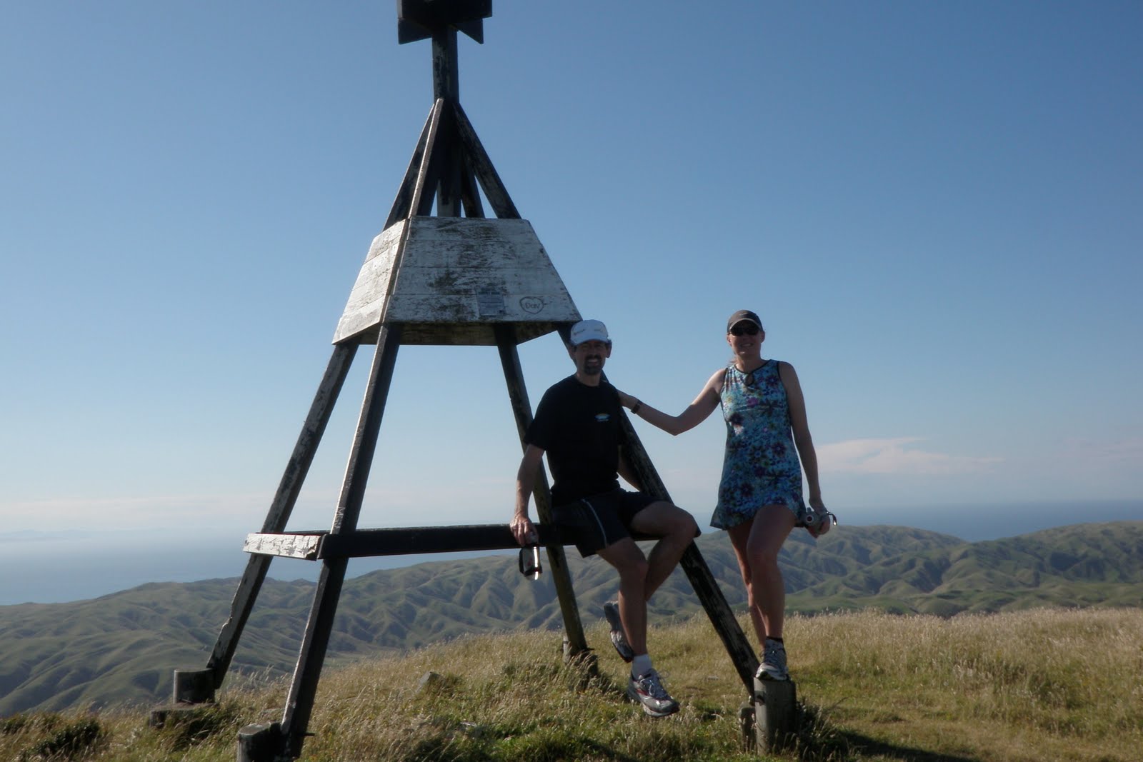
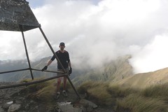
Posing for a photo at the hut.
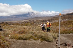
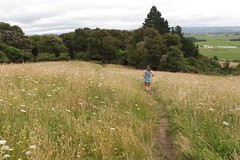
Heather and Mike run off into the desert
Through the Desert
An "undulation" in the desert...
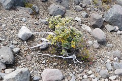
Natural bonsai
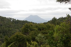
Just up that valley...
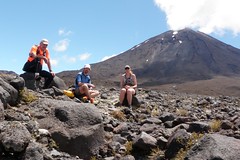
Time for a late lunch
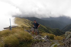
Saddle #1
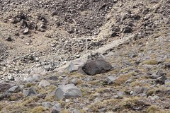
The plan was to cross the saddle between Ngauruhoe and Pukekaikiore. What I didn't realise was that there were three saddles! The first saddle is shown in the photos below. This didn't quite feel right, and after a bit of a diversion down the side of the valley we came back up and continued on to the next saddle.
It looks like a saddle... as a natural low point it even
has water lying on the ground. In fact it IS a saddle...
just not the one we were looking for.
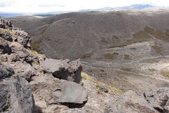
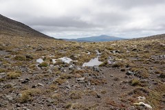
View down the valley from this saddle
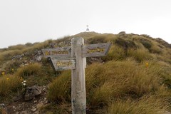
Saddle #2 - The Crucial (Wrong) Turn
Having recovered from the previous wrong turn we continued gradually upwards. Cresting a slope to (another) saddle we were very pleased to find a marker pole. There were no orange marker triangles, but the existence of the pole meant we were heading in the right direction!
I stopped to take a couple of photos, and then we left turned and headed down... in the wrong direction. The photo below shows where we should have gone - across the lava field to the third and final saddle. Instead we headed around the slopes of Pukekaikiore. The only way out in that direction is an unpleasant and very slow stretch of bush-bashing, which is exactly what we had to do.
The Pole: this pole is crucial - at this point head
across the lava field, maintaining height. Do not be
tempted to head down.
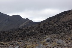
The goal from the pole: head for the left hand side
of THIS saddle.
Having traversed around the side of Pukekaikiore until we could go no further, it was time to head down through the bush. Even though the day was hot, Heather and I stopped to put our overtrousers on to stop our legs being scratched to pieces. We pushed and shoved and slipped and slid through the thick scrub and bush. With a stroke of luck Mike happened on a narrow but deep stream bed, and that provided a clear path down.
Out of the bush and into a more open stream at the base of Pukekaikiore, we followed that UP for a short distance to a clearer section of vegetation that allowed us to gain the low hill between us and Mangatepopo Valley. At the top of the hill was an unmarked track. Following this west led us back to the poled Northern Circuit track (the section from The Chateau to Mangatepopo), and we were out!
A short diversion back to Mangatepopo Hut to sign out of the log book and then back to the cars. 10h47, but most likely would have been the planned 8h if we had taken the right route.
Map
Links: